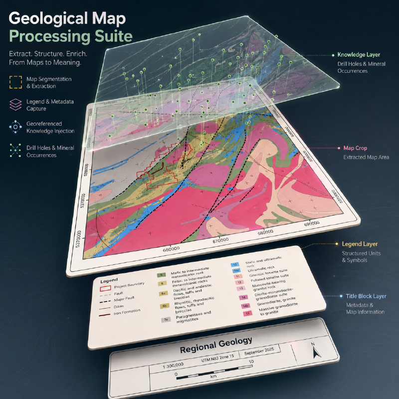
Geological maps are awkward inputs for VLMs (circa Fable), and the sheer scale and resolution of these maps is only the beginning of the problem.
A typical map sheet is a large raster containing the map, legend, cross section, correlation of map units diagram, graticule, projection notes, and other marginalia. These components are individually readable, but they are mutually referential: a polygon depends on its legend entry, the legend depends on stratigraphic ordering, and geographic interpretations depend on the map frame and CRS.
Tiling or downsampling can fix the scale problem but exacerbates compositional ones. So a geological question like “what is the dominant lithology in this quadrant” can require multiple steps and operations for an AI assistant to cook up an answer, at varying levels of accuracy.
There is already substantial work on geological-map digitalization: AI4CMA and DIGMAPPER treat primarily as a problem of vectorizing these maps. (And us too, we also have our own tools for vectorizing these maps). While PEACE takes a MLLM approach: their GeoMap-Agent decomposes map QA into information extraction, domain-knowledge integration, and answer generation. The also released GeoMap-Bench: 124 maps and 3,864 geologist reviewed QA pairs, upon which their agent scored 0.811 vs GPT-4o’s 0.369.
However, their repo is currently packaged as and end-to-end QA tool and benchmark. We were looking for something more modular.
Hence, Stratigraphic Amenity: PEACE repackaged into a small Python-SDK + local MCP server exposing operations for map layout and legend detections, geo-referencing, knowledge retrieval, and overlays. It deliberately stops short of doing OCR, specifying VLM inference, or answer construction. Bring your own agent and harness.